All Download Links
JSON manifest with raw bag, radar, and annotation links for scripted downloads.
Download JSONDataset access
Use the links below to access current annotation packages, raw ROS bags, trajectory previews, and the ontology definition.
Bulk access
Use the JSON manifest to script downloads across raw ROS bags, radar packages, and annotations.
JSON manifest with raw bag, radar, and annotation links for scripted downloads.
Download JSONCurated downloads
Download only the released annotation package you need, then use the raw ROS bag table for full sensor replay.
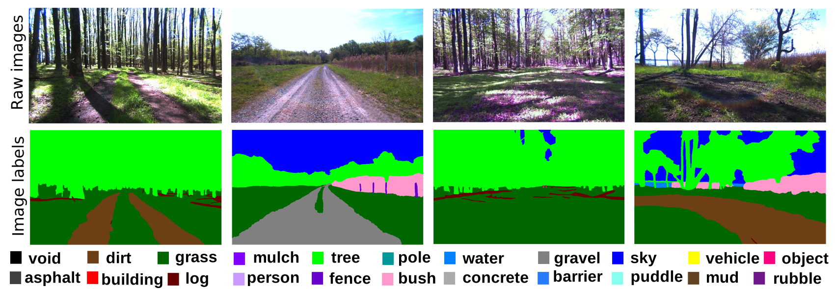
Semantic class ontology for interpreting labels and semantic categories.
Open OntologyRGB semantic segmentation package for the released image set.
DownloadCaption annotations for RGB frames.
DownloadLong-wave infrared semantic segmentation package.
DownloadRaw sequences
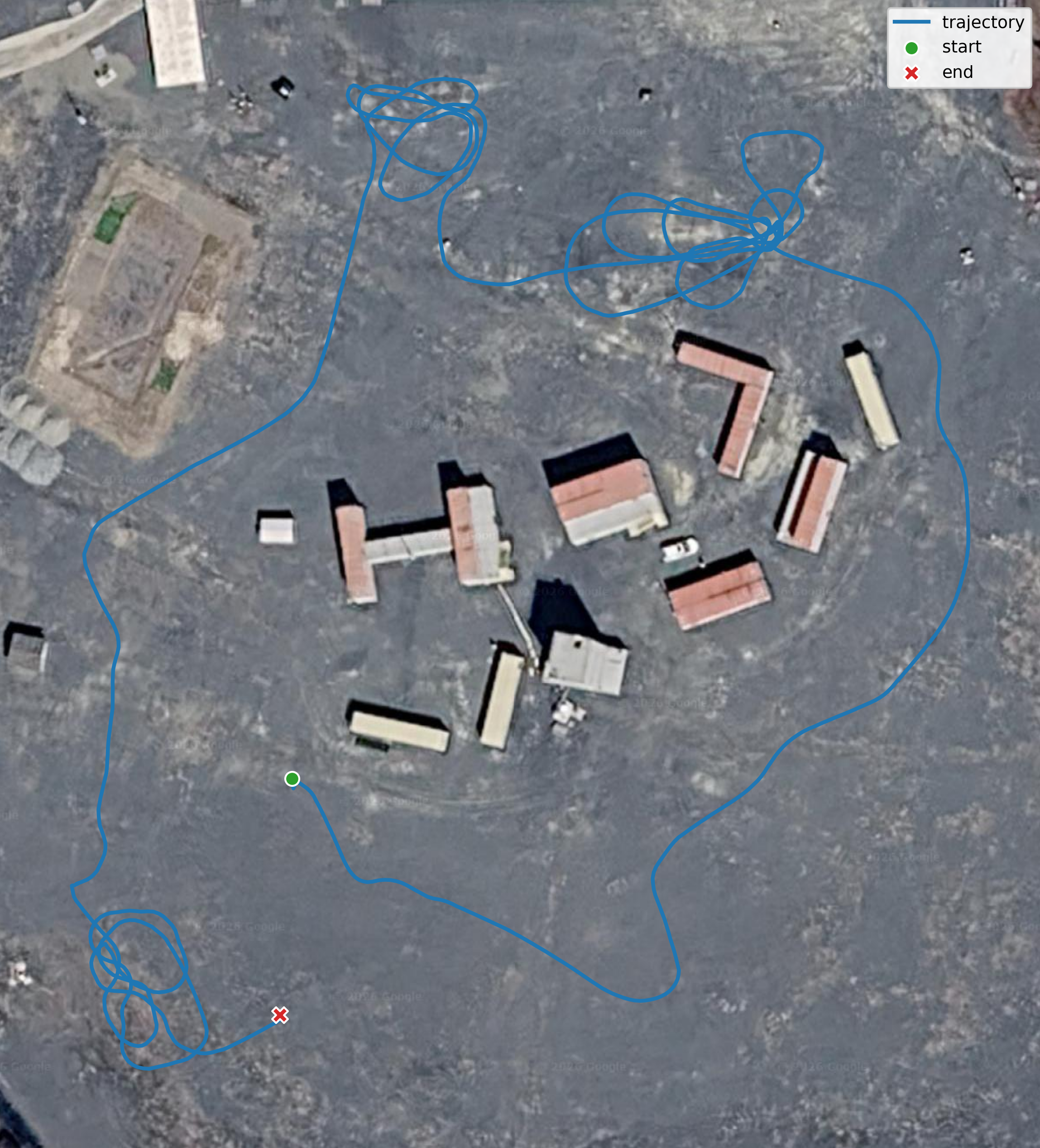
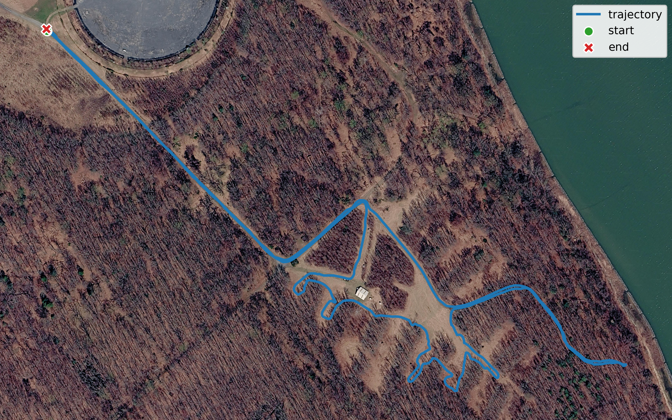
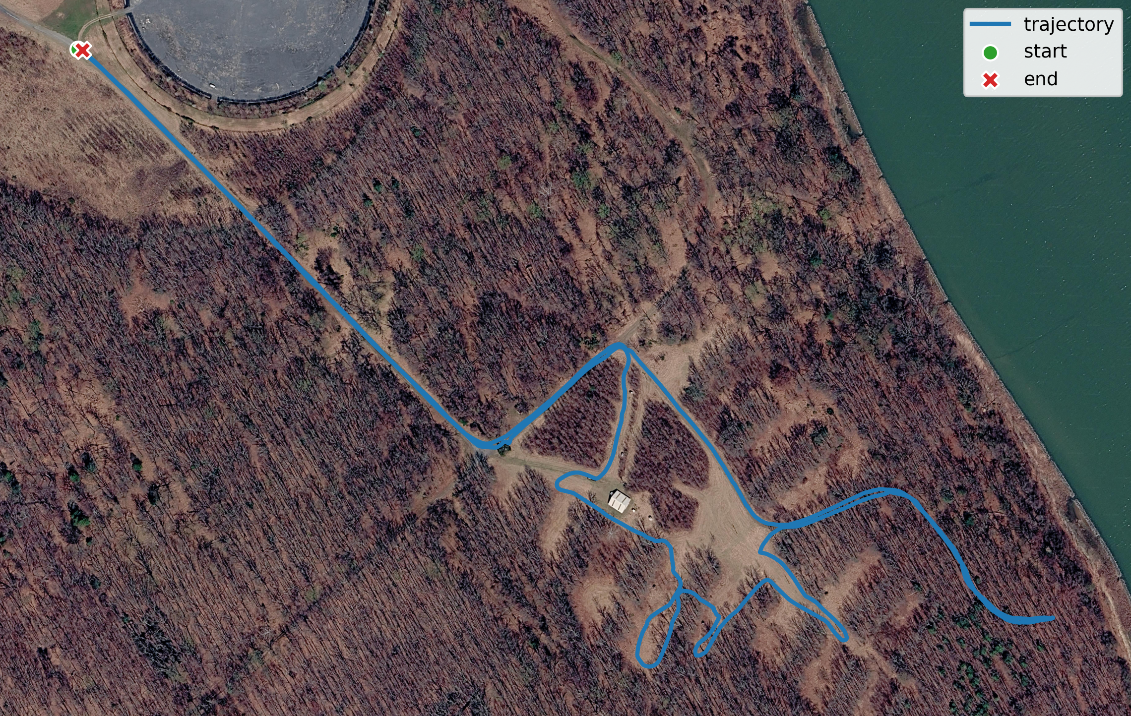
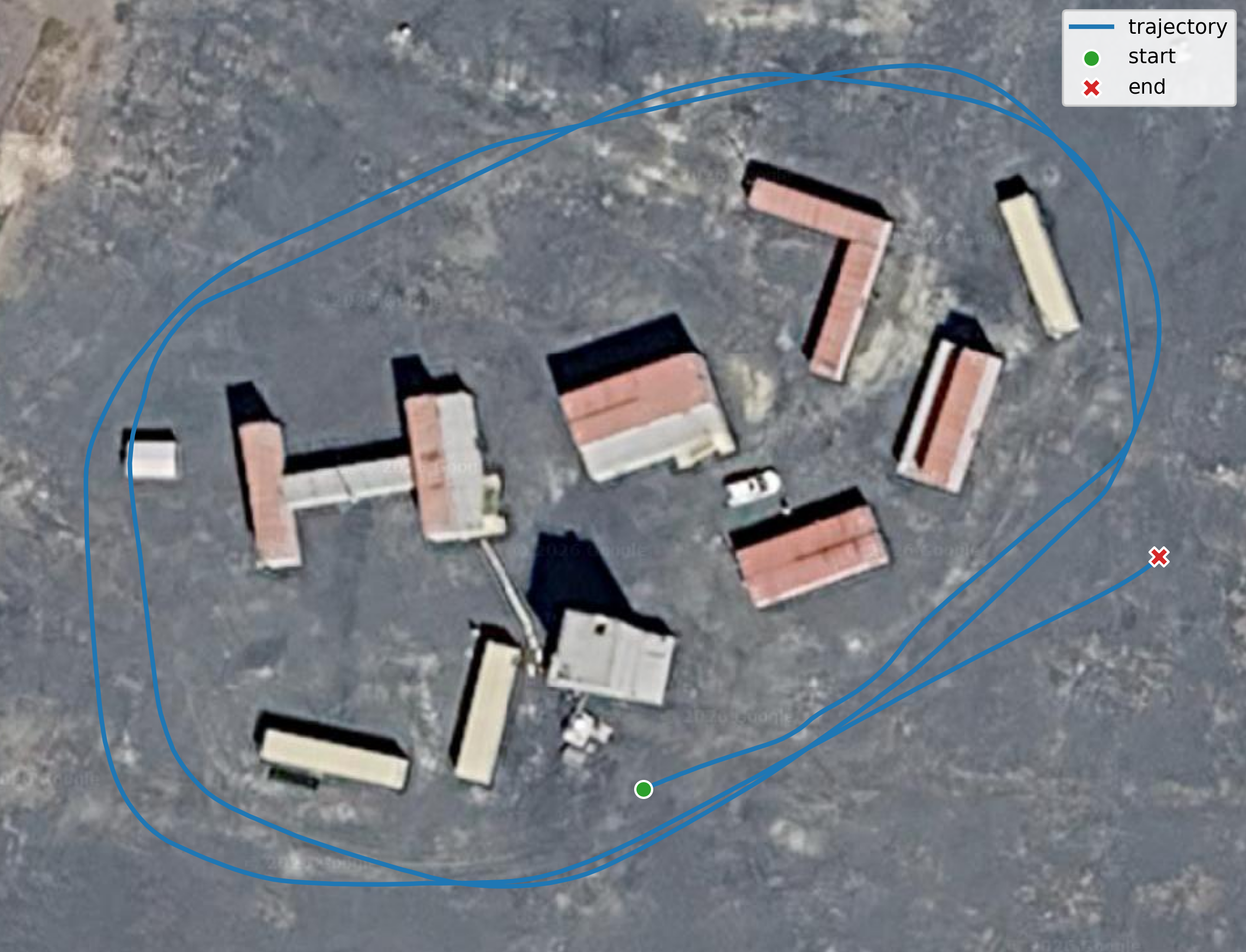
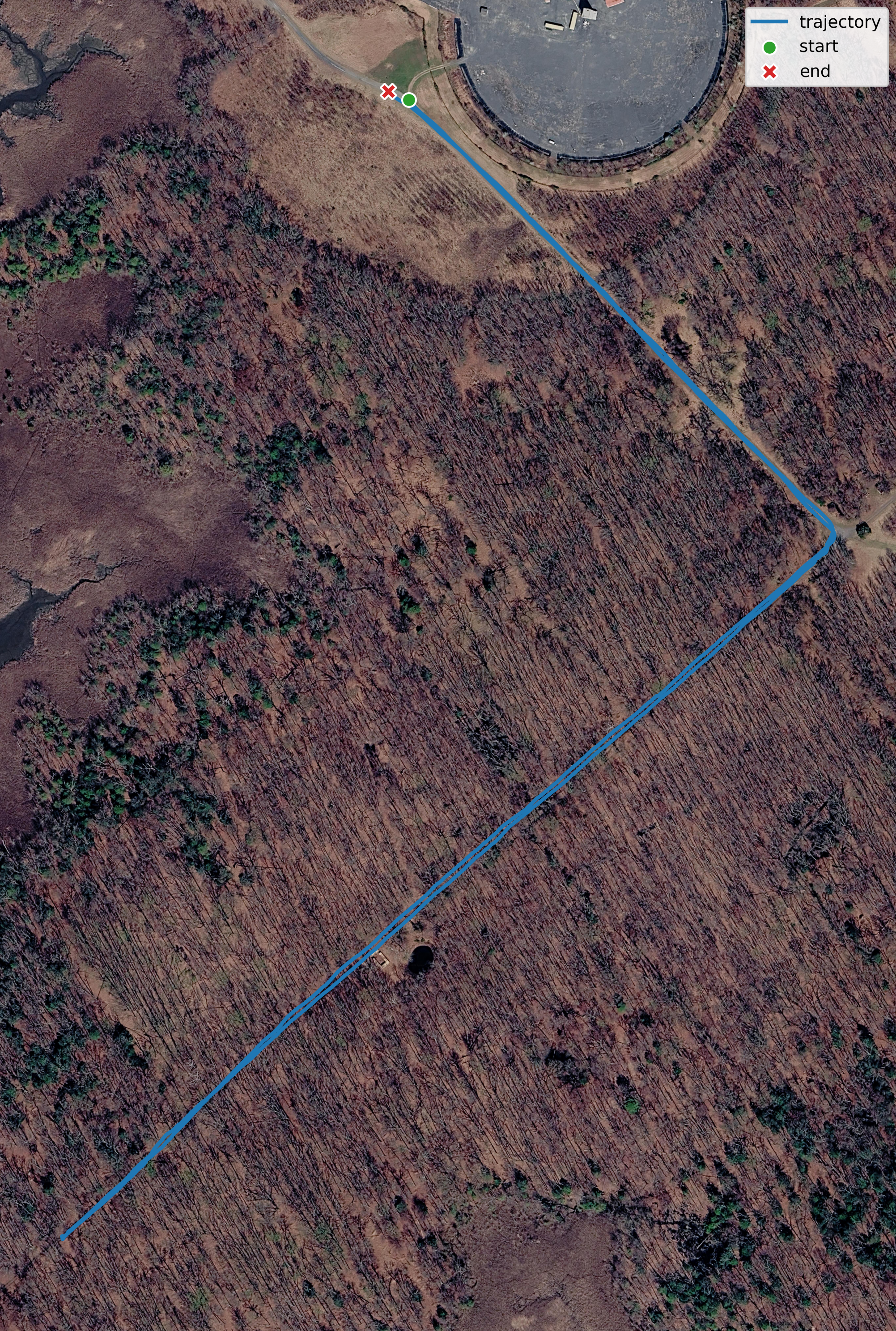
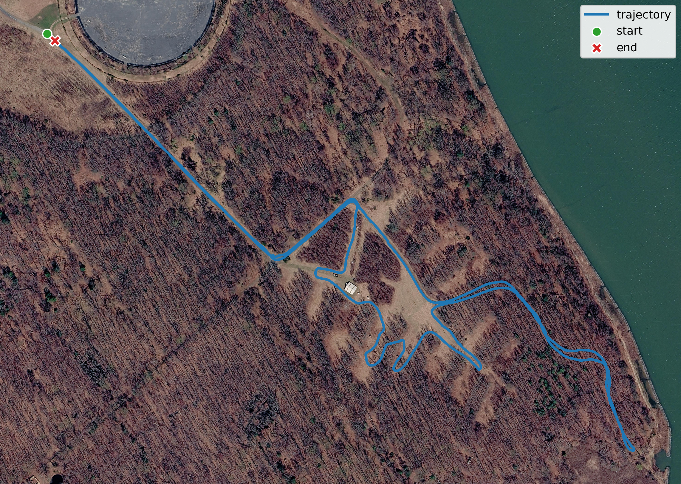
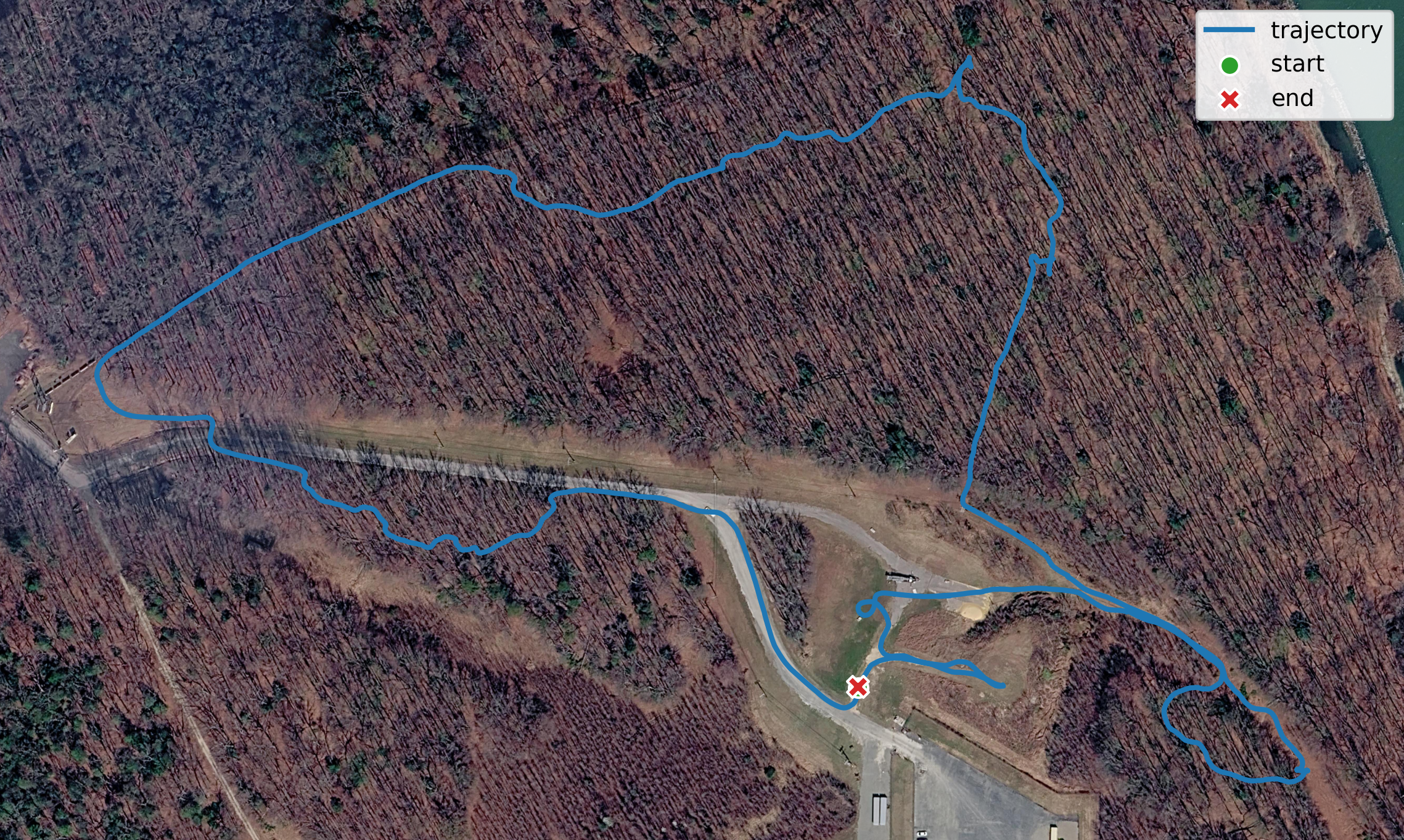
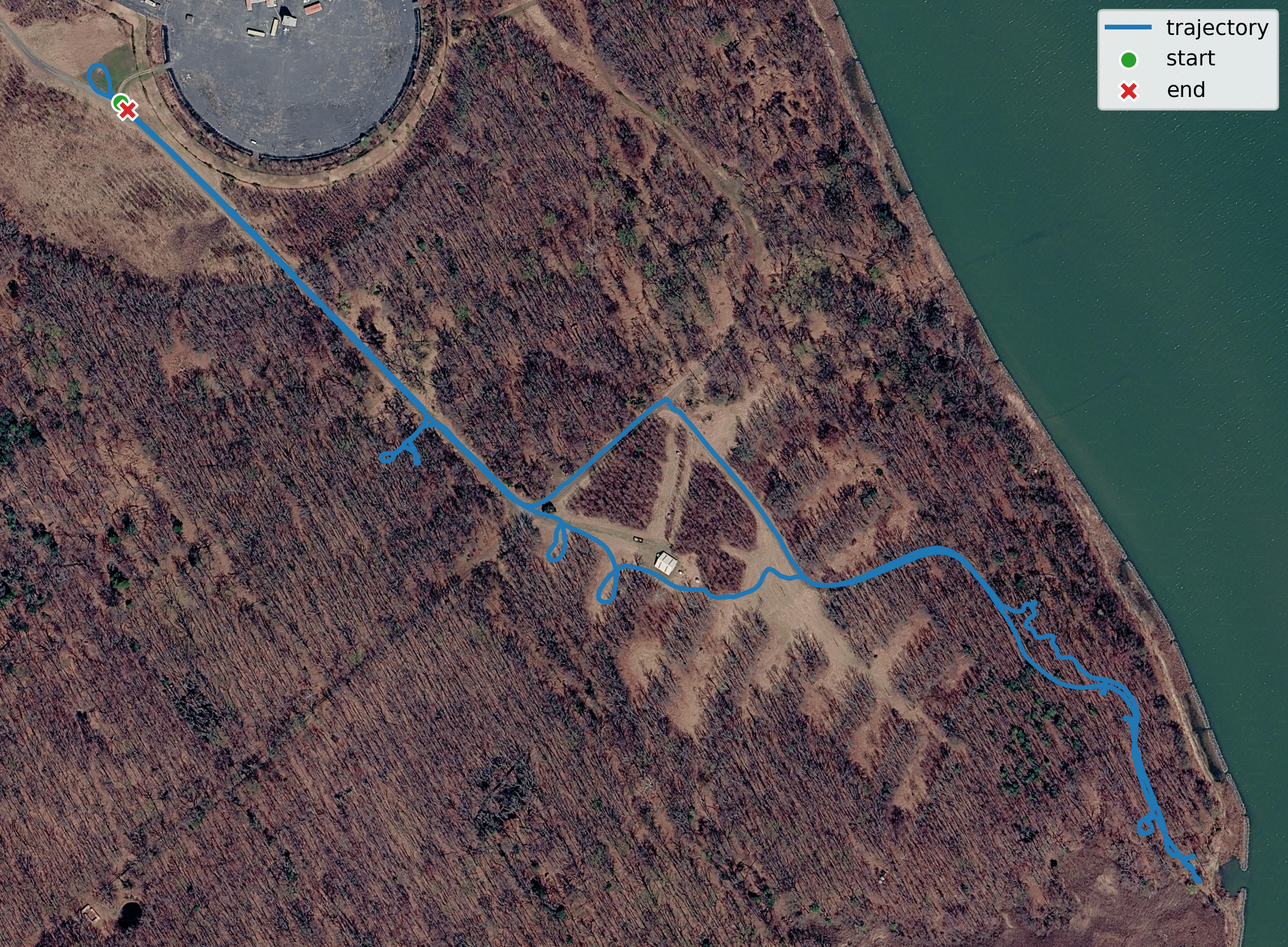
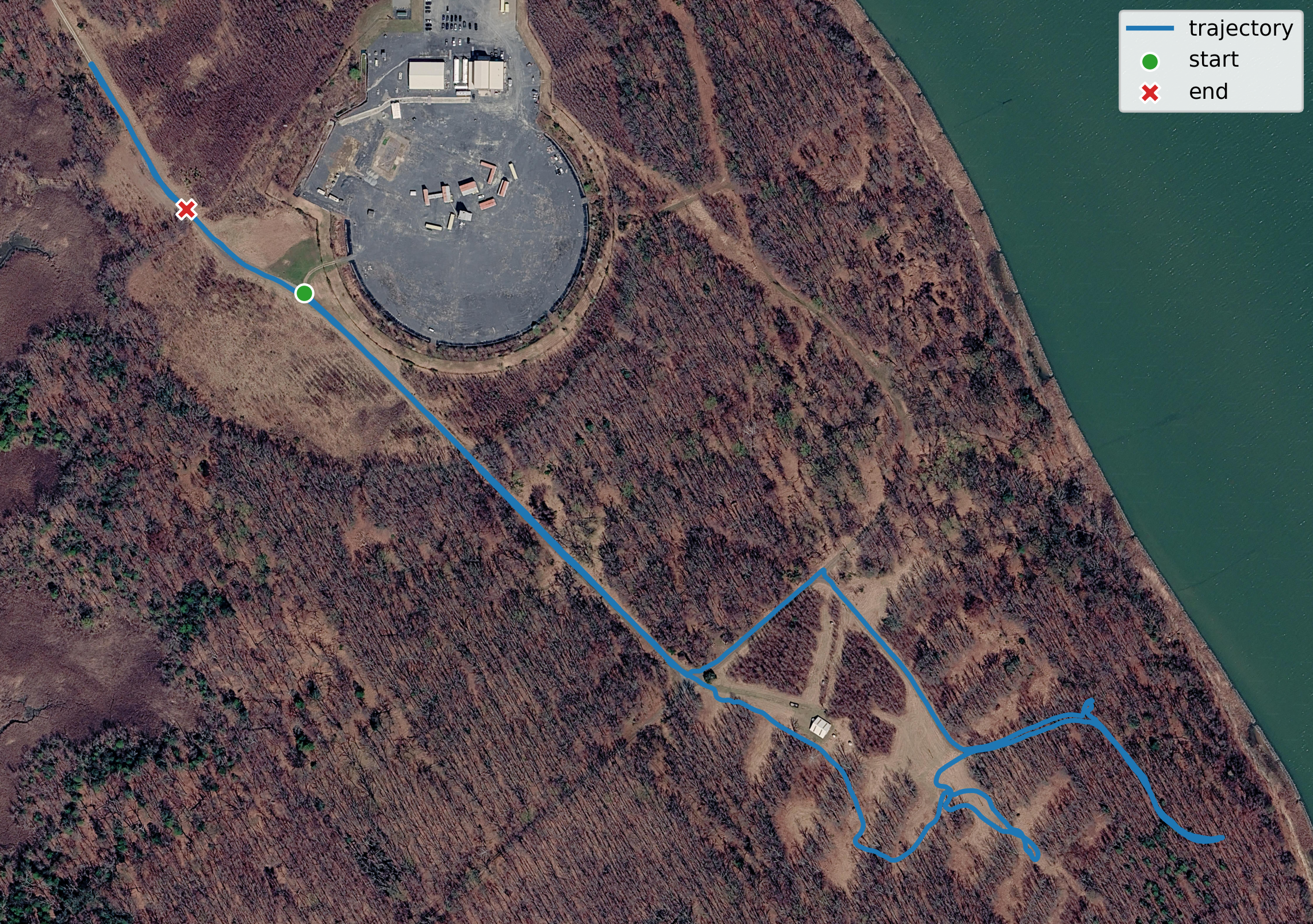
Each bag contains the original synchronized sensor topics. Use the trajectory maps to select the route before downloading the raw data.
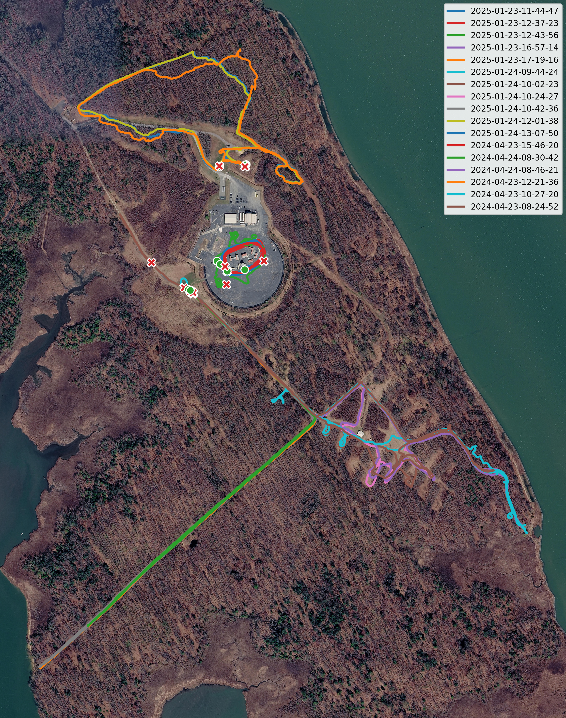
January 2025 collection sequences.
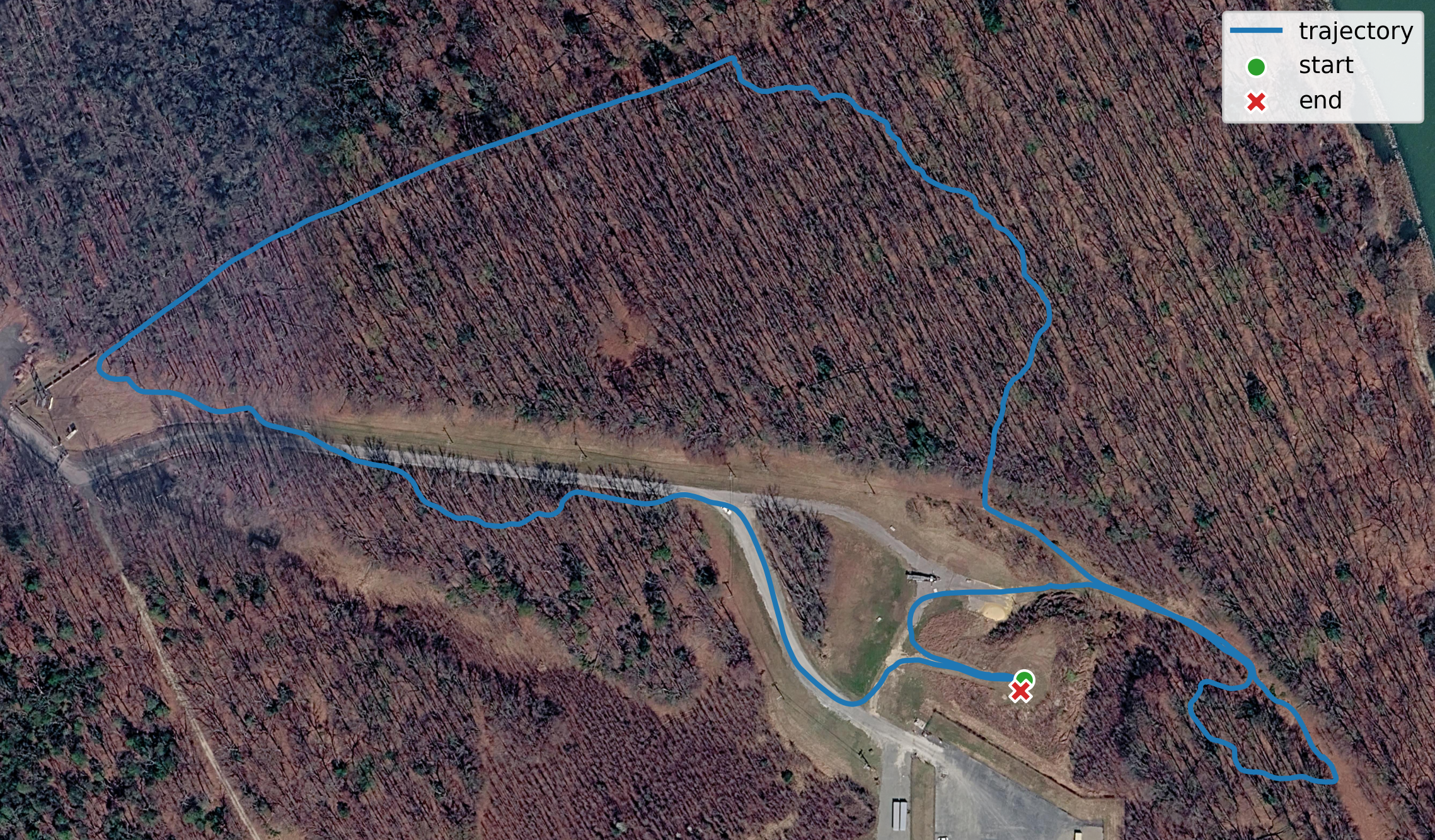
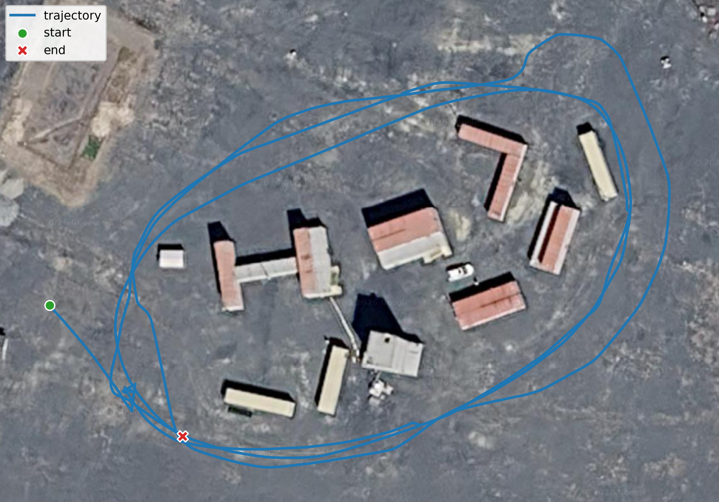
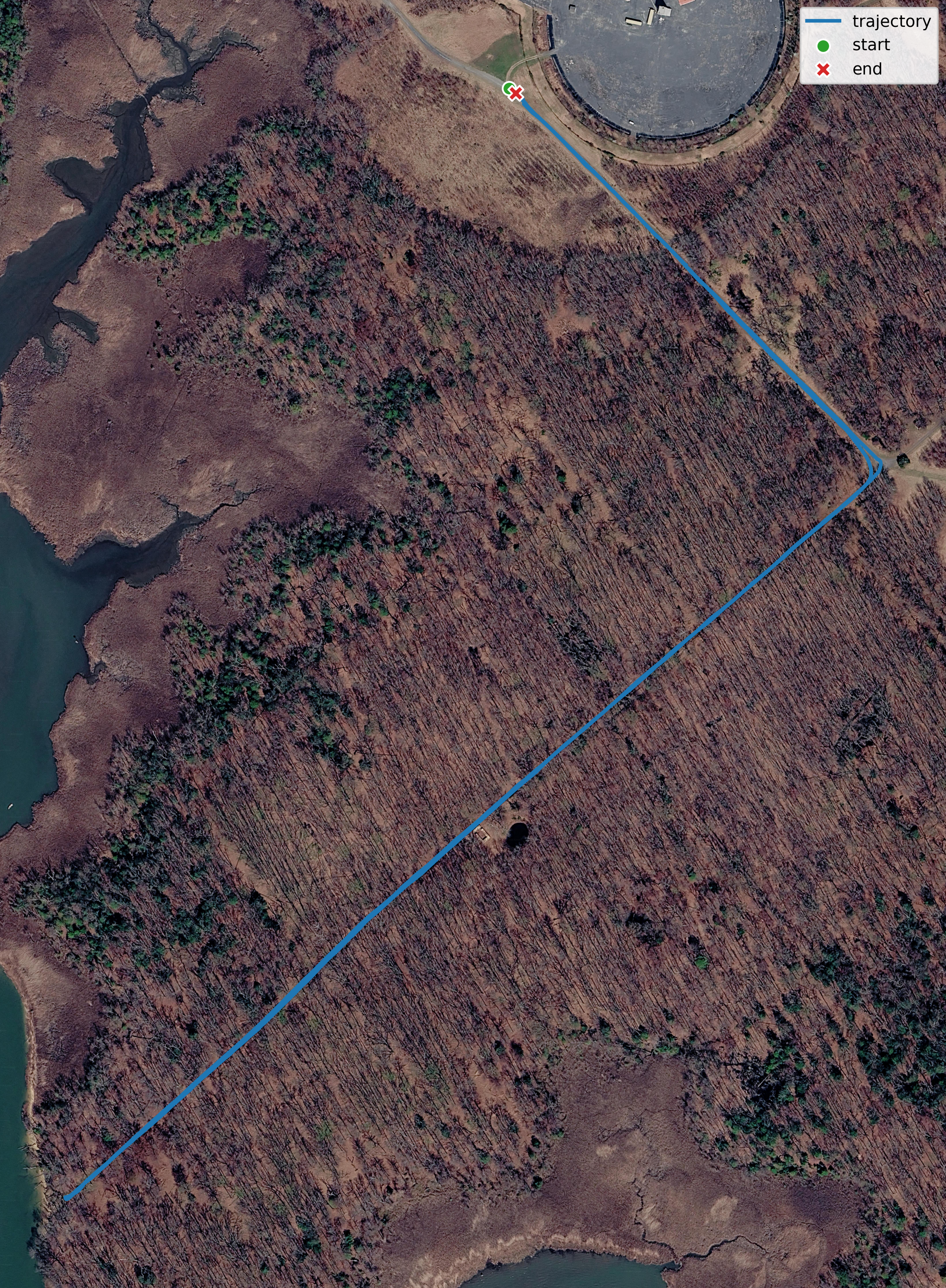
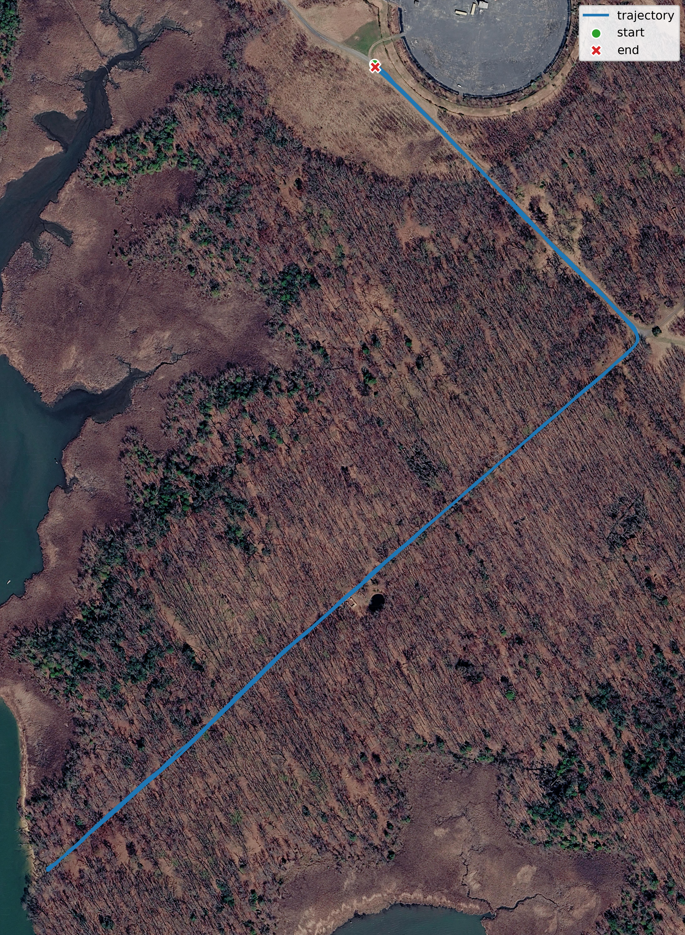
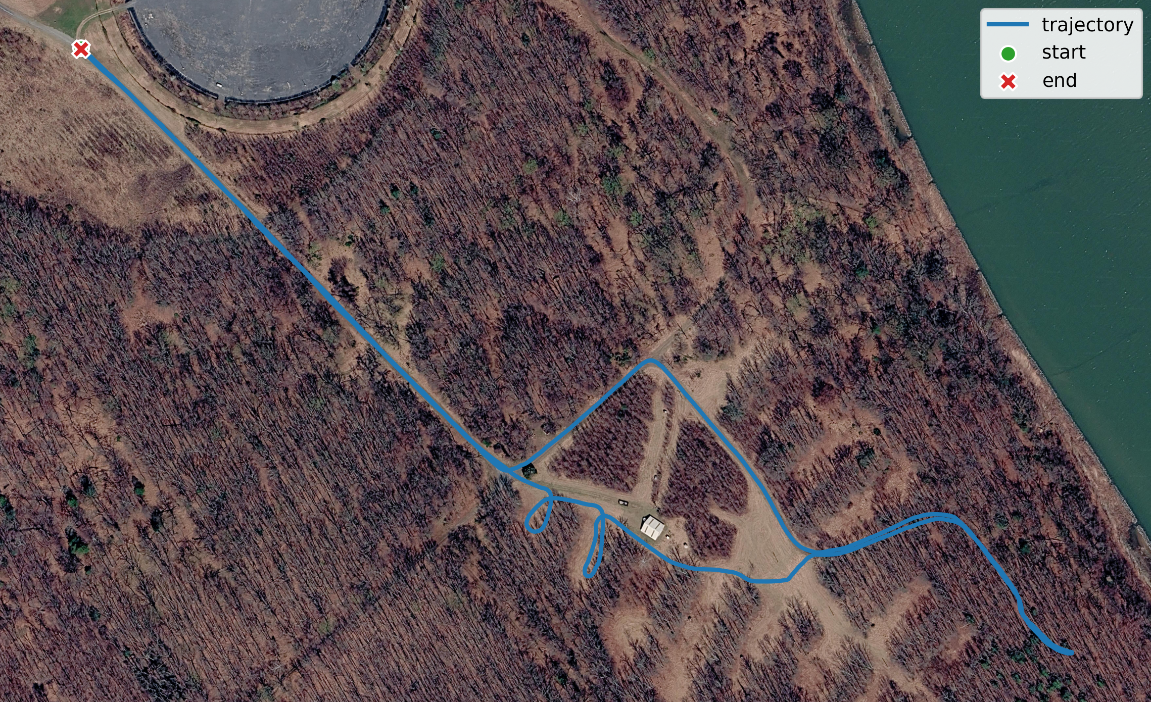

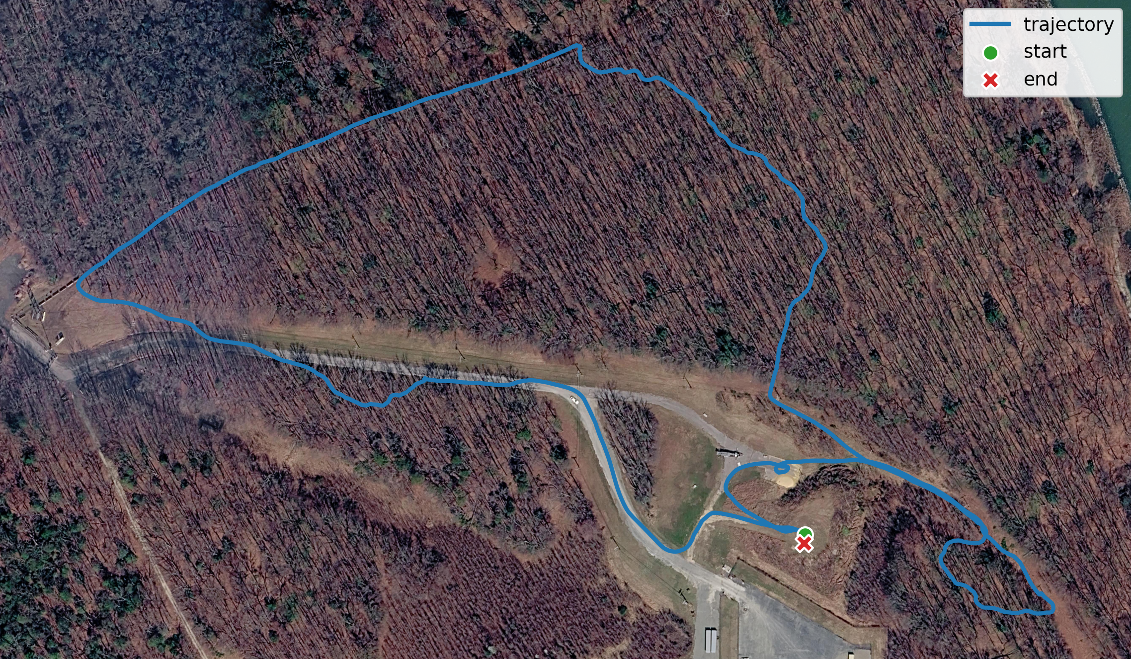
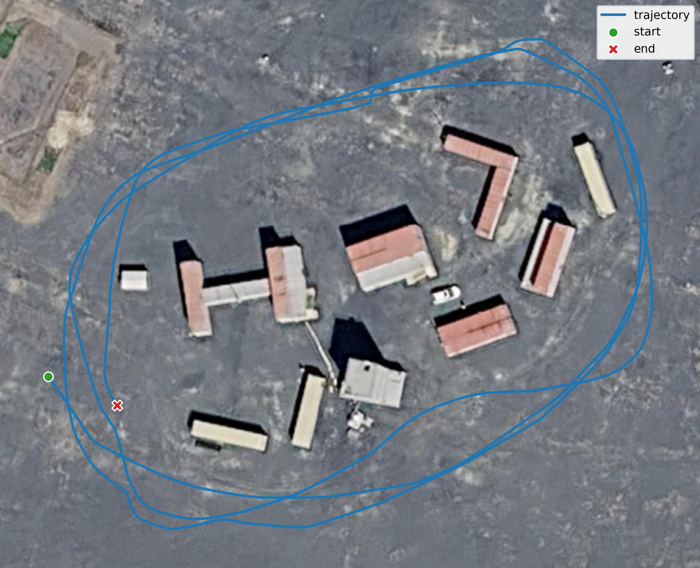
April 2024 collection sequences. Known issue: The 2024 dataset contains partial LiDAR data loss.
ROS topics
The raw ROS bag includes navigation, imaging, radar, LiDAR, command, and transform topics.
| Topic name | Message type | Description |
|---|---|---|
| /Navtech/FFTData | nav_ross/HighPrecisionFFTData | Radar FFT data |
| /lester/imu/data | sensor_msgs/Imu | Filtered IMU data from the embedded Warthog IMU |
| /lester/imu/data_raw | sensor_msgs/Imu | Raw IMU data from the embedded Warthog IMU |
| /img_node/intensity_image | sensor_msgs/Image | Intensity image generated by the Ouster LiDAR |
| /lester/imu/mag | sensor_msgs/MagneticField | Raw magnetic field data from the embedded Warthog IMU |
| /lester/lidar_points | sensor_msgs/PointCloud2 | Point cloud data from the Ouster LiDAR |
| /lester/ouster_center/imu | sensor_msgs/Imu | Raw IMU data from the embedded Ouster LiDAR IMU |
| /lester/lwir_front/camera_info | sensor_msgs/CameraInfo | Intrinsics of the thermal camera |
| /lester/lwir_front/image_rect/compressed | sensor_msgs/CompressedImage | Compressed thermal image stream |
| /lester/stereo_left/camera_info | sensor_msgs/CameraInfo | Left RGB camera intrinsics |
| /lester/stereo_left/image_rect_color/compressed | sensor_msgs/CompressedImage | Compressed image stream from the left RGB camera |
| /lester/stereo_right/camera_info | sensor_msgs/CameraInfo | Right RGB camera intrinsics |
| /lester/stereo_right/image_rect_color/compressed | sensor_msgs/CompressedImage | Compressed image stream from the right RGB camera |
| /lester/rear_center/camera_info | sensor_msgs/CameraInfo | Rear center RGB camera intrinsics |
| /lester/rear_center/image_rect_color/compressed | sensor_msgs/CompressedImage | Compressed image stream from the rear RGB camera |
| /lester/ublox/fix | sensor_msgs/NavSatFix | INS data from u-blox |
| /lester/right_drive/status/battery_current | std_msgs/Float64 | Right drive battery current |
| /lester/right_drive/status/battery_voltage | std_msgs/Float64 | Right drive battery voltage |
| /lester/left_drive/status/battery_current | std_msgs/Float64 | Left drive battery current |
| /lester/left_drive/status/battery_voltage | std_msgs/Float64 | Left drive battery voltage |
| /lester/rc_teleop/cmd_vel | geometry_msgs/Twist | RC input command to the Warthog |
| /tf | tf2_msgs/TFMessage | Dynamic transforms |
| /tf_static | tf2_msgs/TFMessage | Static transforms |