Recording platform
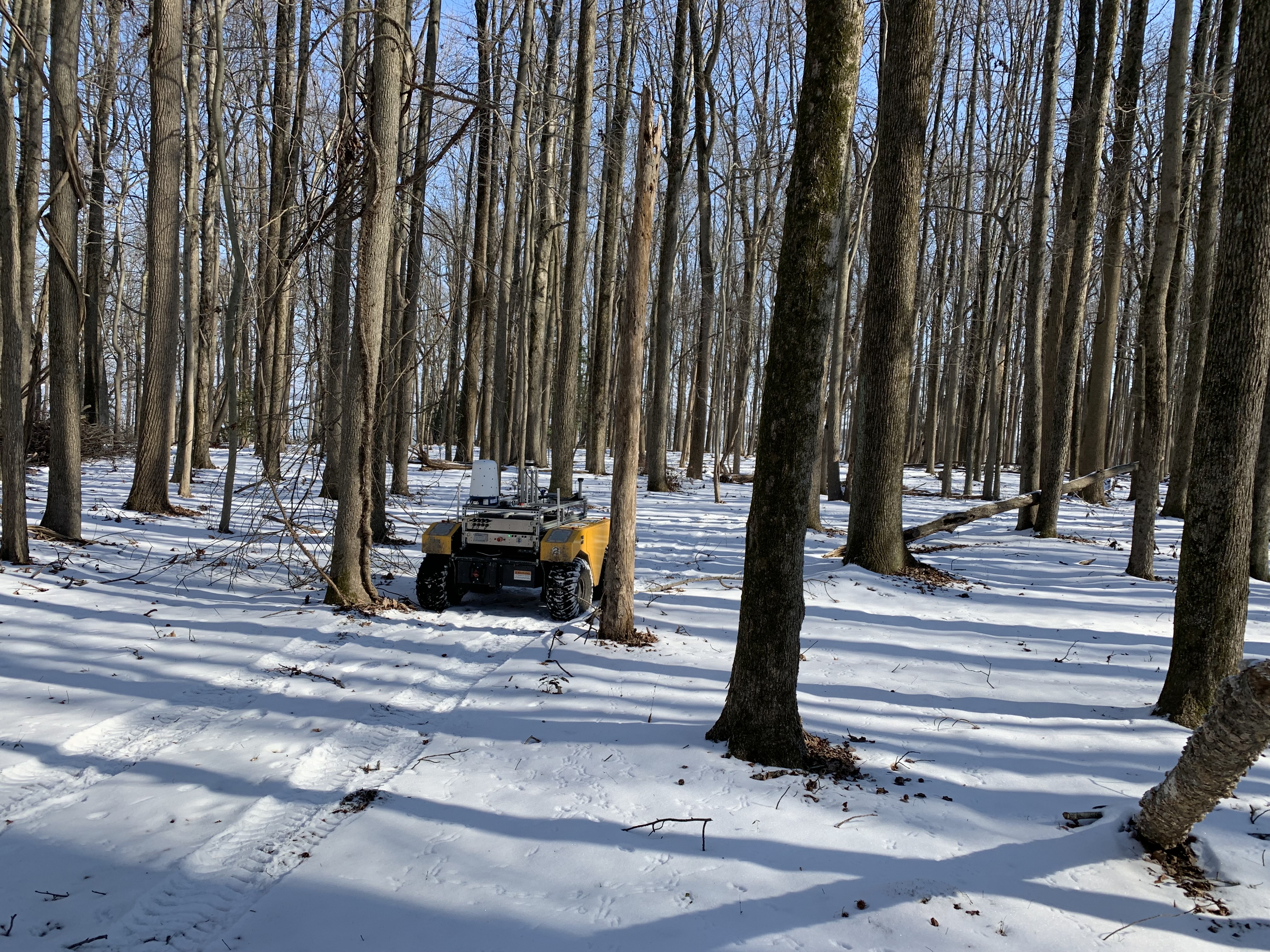
Field data captured from an off-road UGV.
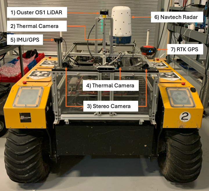
The dataset was collected using a Clearpath Robotics Warthog equipped with LiDAR, RGB cameras, thermal imaging, radar, inertial sensing, and RTK GPS for synchronized multimodal perception in unstructured terrain.
View Warthog Platform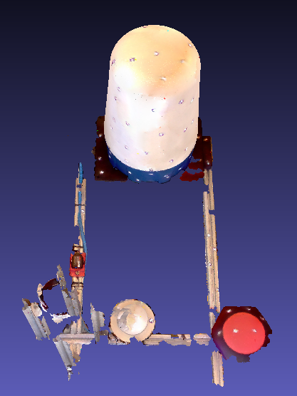
Sensor setup
Complementary sensing for difficult outdoor conditions.
Each sensor stream contributes a different view of the environment, from dense geometry and visual appearance to thermal contrast, radar returns, and precise vehicle motion.
64-channel LiDAR
Ouster OS1 point clouds for 3D geometry and semantic segmentation.
RGB cameras
Three Basler acA1920-50gc cameras with Edmund Optics 16mm lenses.
Thermal camera
FLIR Boson 640 long-wave infrared imagery for low-visibility conditions.
INS and GPS
MicroStrain 3DM-GX5-AHRS for motion and orientation measurements.
2D mmWave radar
Navtech CTS350-X radar data for robust perception in adverse conditions.
RTK GPS
SparkFun RTK Facet positioning for precise geolocation.
Platform imagery
Vehicle and sensor views.